
It is no secret that climate change poses a unique threat like none humanity has previously experienced. As a human-made problem, the race is on to come up with the best human-made solutions.
Earth observation and geospatial technology offer interesting ways of assessing and managing climate change on local, national, and international levels. In this article, we will take a better look at some of the most notable British projects currently happening and the benefits they will hold for the future of our fight against climate change.
In a previous article, we discussed the Treeview project being developed by the Open University. This exciting project plans to assess and develop tree-planting sites across the UK using small-satellite technology.
In a similar vein, Devon Wildlife Trust is redeveloping wetlands to sequester carbon. The project has used satellite and earth observation technology to identify suitable areas for the wetland, eventually settling on the Caen Wetlands in North Devon.
Plymouth University is also taking steps to develop novel carbon sequestration initiatives. Using funding from Agri-Tech Cornwall, the Soil Carbon Project is designed to research ways in which British farmers can more efficiently manage their land. Along with improving crop quality, farmland offers an important space for carbon sequestration. The project uses geospatial technology to map farmland and identify the most suitable areas.
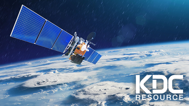
Another company worth mentioning is Geospatial Insight Ltd. Based in Birmingham, Geospatial Insight describes its business model as a provider of evidence-based intelligence derived from sophisticated sources and machine-driven analysis. In short, they use satellite imagery run through intelligent machine-learning systems to provide usable data to a wide range of clients. Importantly, this article can provide information about the use, supply, and distribution of energy.
A wide range of academics and private companies, both new and old, have jumped on the earth observation bandwagon in recent years. The industry has seen a surge in popularity due to increased government funding for these projects. At the end of 2020, the UK government offered £7 million in grants for climate change initiatives.
But why is the government throwing so much money at this industry? While many of these projects are high risk, they also offer a high reward. For example, the carbon sequestration of wetlands is enormous and, once established, will also offer local areas greater attention from eco-tourism.
Also, big data of this kind is useful for climate change projects. Something like Treeview, for example, will produce data that is not just relevant for the initiative but for future projects that might not even exist yet. We are at a crucial stage where any source of Earth observation data will help us understand the larger implications of climate change and ways we can fight it.
To an extent, much of this satellite technology also has indirect uses in the wider plan of improving our everyday lives. Along with providing rich sources of data for academics and private companies, satellites can help address poor connectivity in more remote areas. Just take Starlink as an example. While not directly relating to climate change, integrating remote areas into a wider communication network has many advantages.
One such benefit is to improve the energy efficiency of homes and workplaces. Of course, this applies to urban areas, but satellite technology will allow us to get specific data about anywhere in the country.
Even back in 2018, EO.N Energy was using satellites to measure energy efficiency across the UK. While more of a project of interest than an actual application, it certainly showed that this project is possible. The project showed how satellites could spotlight high emission areas on different scales (towns, cities, counties, etc.), allowing policy-makers and scientists to offer ways to reduce emission levels.
Similarly, we can use the same technology on the other side of the equation to target inefficient power production sources. By measuring data from both power production facilities and supply lines, it would be entirely possible to identify key areas where production was low or inefficient and look for significant losses in the supply chain.
This kind of observational data would eventually result in a more efficient power grid. After all, tackling climate change is about more than just switching to green sources of energy. It is also about improving the efficiency of production, supply, and use to reduce consumption in tangible ways effectively.
Earth observation and geospatial technology hold a lot of potential in the fight against climate change. Satellite imagery and data will help identify key areas for carbon sequestration and analyse the efficiency of our energy usage and supply. The government’s latest round of grants have pushed many companies closer to their goals, so the next few years promise to offer a much greater range of exciting projects in this industry.