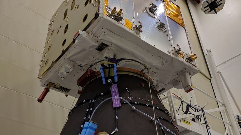

The ESA’s wind-sensing satellite, built by Airbus, is now ready for launch. Named Aeolus, it will provide measurements on a daily basis in near real-time to improve the accuracy of weather forecasts.
The satellite will be equipped with a Lidar-based instrument named Aladin which works by firing ultraviolet laser pulses towards Earth. This light bounces off air molecules and small particles such as dust, ice and droplets of water in the atmosphere. The fraction of light that is scattered back towards the satellite is collected by Aladin’s telescope and measured.
The data from Aeolus will provide reliable wind-profile data on a global scale and is needed by meteorologists to further improve the accuracy of weather forecasts and by climatologists to better understand the global dynamics of Earth’s atmosphere.
It will now be shipped across the Atlantic on the Airbus vessel “Ciudad de Cádiz" to Kourou, French Guiana, where a Vega launcher will send it to orbit on 21 August. The instrument is so sensitive that it could be damaged by a sudden loss of pressure. For this reason, air transportation has to be avoided and for the first time Airbus will transport one of its satellites on-board its own vessel.
“Aeolus is a world first with break-through technology that will make a huge contribution to weather forecasting on a global scale. Pioneering a LIDAR instrument in Space is quite a challenge – but a great example of what Europeans can achieve when we work together!”, said Nicolas Chamussy, Head of Space Systems at Airbus.
