It’s no secret that urban planning is a challenge, especially when you consider the holistic nature of expanding cities or building new ones, rather than letting it happen organically. Planners must juggle everything from road infrastructure and amenities to air quality and the impact of natural disasters.
In recent years, Earth observation (EO) satellites have shown their potential for aiding urban planning. While it’s still in its comparative infancy, EO will likely become the norm in urban planning.
Urban planning can be broken down into three broad categories: infrastructure, population density, and interaction with the natural world. It’s necessary to balance all three when planning urban developments, as a lack of one can drastically impact the others. For example, poor infrastructure impacts population density, and no consideration of natural disasters can present a danger to life.
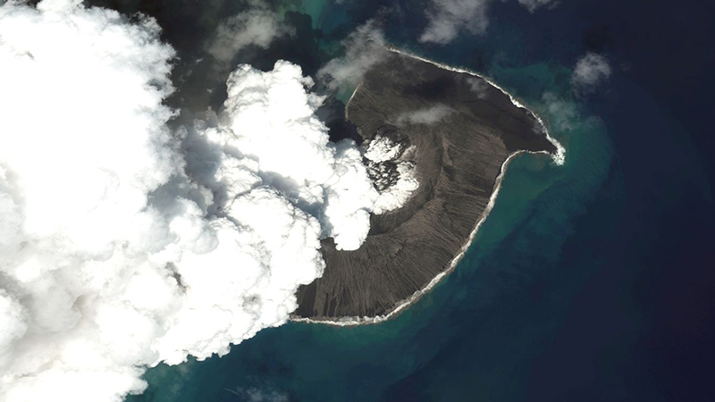
These are all areas that EO satellites can help with. Take environmental data, for example. Urban spaces need to be aware of air quality and urban heat island effects, both of which impact citizens’ quality of life and can increase the risk of natural disasters. Extensive in situ monitoring networks are an option, but they lack the adaptability to keep up with rapid population shifts.
Satellites, however, can be far more flexible and don’t need to be updated in the same way to keep up with rapid changes. EO data can also be used to map future changes, something that terrestrial networks often lack.
The same logic applies to land use planning. Satellite images provide a far better view of urban spaces, allowing planners to see changes in green space over time and to decide on the best locations for new developments.
Finally, there’s the city’s resilience to consider. This typically refers to an environment’s ability to withstand natural disasters but also incorporates aspects of sustainability and efficient development. Rio de Janeiro is a great example of this in action; it launched a partnership with NASA in 2015 to monitor everything from traffic and water quality to sea level rise and sustainable development.
The EO industry is already incredibly broad, and there are myriad angles from which to tackle the issue of urban planning. For example, there are companies like Spacept, which is using AI to perform risk assessments on critical infrastructure. While it doesn’t necessarily relate directly to urban planning, it’s a vital aspect of protecting cities.
UK-based startup Digital Urban uses EO data to create 3D and VR setups of cities, which can be used to supplement planning efforts. Its models include all the data you could need to make critical decisions about urban spaces, whether this is new development or regeneration.
Although perhaps not as glamorous, another vital company in the EO space is Sensar. It uses satellite data to monitor ground deformation – information that’s used for sewage and underground infrastructure development as well as above-ground planning.
And, of course, we can’t overlook the importance of the ESA and NASA. Both bodies run their own EO networks but also provide funding for startups and manage projects with cities. It should come as no surprise that two of the biggest space agencies would have a hand in something so important.
EO data will likely play a major role in future urban planning. When combined with technology such as AI and machine learning, it could take much of the risk out of city developments. Considering nearly 9 million acres of land could be underwater by 2100, this intervention is more important than ever.